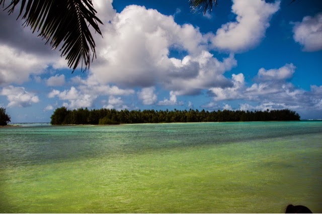
 I imagine most people don't know much about the Cook Islands. I'm not saying that to sound smarter or anything, because the fact of the matter is there is very little information available in guidebooks or the Internet about them. We knew vague information about a hike that went into the lush hills and afforded overlooks of the island, but simple information like where the trail even starts was difficult to find.
We first ventured inland on the south side of the island beyond an abandoned Sheraton hotel with cows munching on the grass to the island's only waterfall. Apparently, if there is no rain, there is no waterfall, so that was one bonus to the heavy rains last night. Next, we drive to the complete opposite side of the island (15-20 mins away). There we drove to the end of a road in our attempt to reach an overlook.
 We found the trailhead, and there was even a sign! The trail began nice enough with views of the valley that you see here. However, within a matter of minutes, it narrowed and entered thick underbrush and devolved into a slippery mess of boulders, tree roots, and mud. We continued through this for about 45 minutes, and when we looked behind us and realized that we would have to return through all of this nonsense, we elected to simply start back down. We came, we almost saw, we were conquered. Molested by mosquitoes and legs covered in a mud, we walked past two couples on our way back to the car. There is no way the people we saw made it to the top.
We returned, defeated, to our bungalow, where I discovered that there seems to be an issue with uploading RAW pictures from my SLR camera. The last post made them look very poor quality. So I spent some time fixing that, and I'll leave you with this...


No comments:
Post a Comment